Victorian London map in a detailed style, with cobblestone streets, gas lamps, and historical landmarks.
About this style
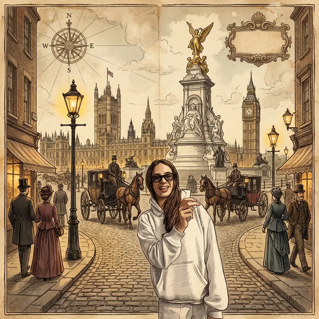
Victorian London Map is a richly atmospheric cartographic style that captures the essence of 19th century London during its industrial and imperial peak, featuring intricate details like winding cobblestone streets, the warm glow of gas lamps, and iconic landmarks such as the Tower Bridge, Westminster Palace, and the Thames riverfront. This aesthetic draws from the golden age of mapmaking when hand-drawn cartography combined functional navigation with artistic embellishment, often incorporating ornate borders, period-appropriate typography, and sepia or muted color palettes that evoke aged parchment.
This style is perfect for historical fiction projects, steampunk world-building, educational materials about Victorian era urban planning, or simply creating atmospheric wall art that transports viewers to the foggy streets immortalized by Dickens and Sherlock Holmes.
When crafting prompts in this style, be specific about the level of aging and weathering you want, whether you prefer a bird's eye view or an isometric perspective, and which specific districts or landmarks should be featured. Including terms like "antiqued paper texture," "cross-hatching," "ornamental compass rose," or "period calligraphy" will help achieve that authentic Victorian cartographic feel.
Both Gemini Image Pro and OpenAI 4o handle this style exceptionally well, with Gemini excelling at capturing fine architectural details and street-level intricacy, while OpenAI 4o produces particularly atmospheric lighting effects and convincing paper aging. For optimal results, specify the time period precisely (early, mid, or late Victorian era) as London's geography and landmarks changed significantly throughout Queen Victoria's 64-year reign, and consider mentioning whether you want a more functional navigation map or a decorative pictorial representation.