Modern city map in a minimalist style, highlighting major landmarks, streets, and public transport routes.
About this style
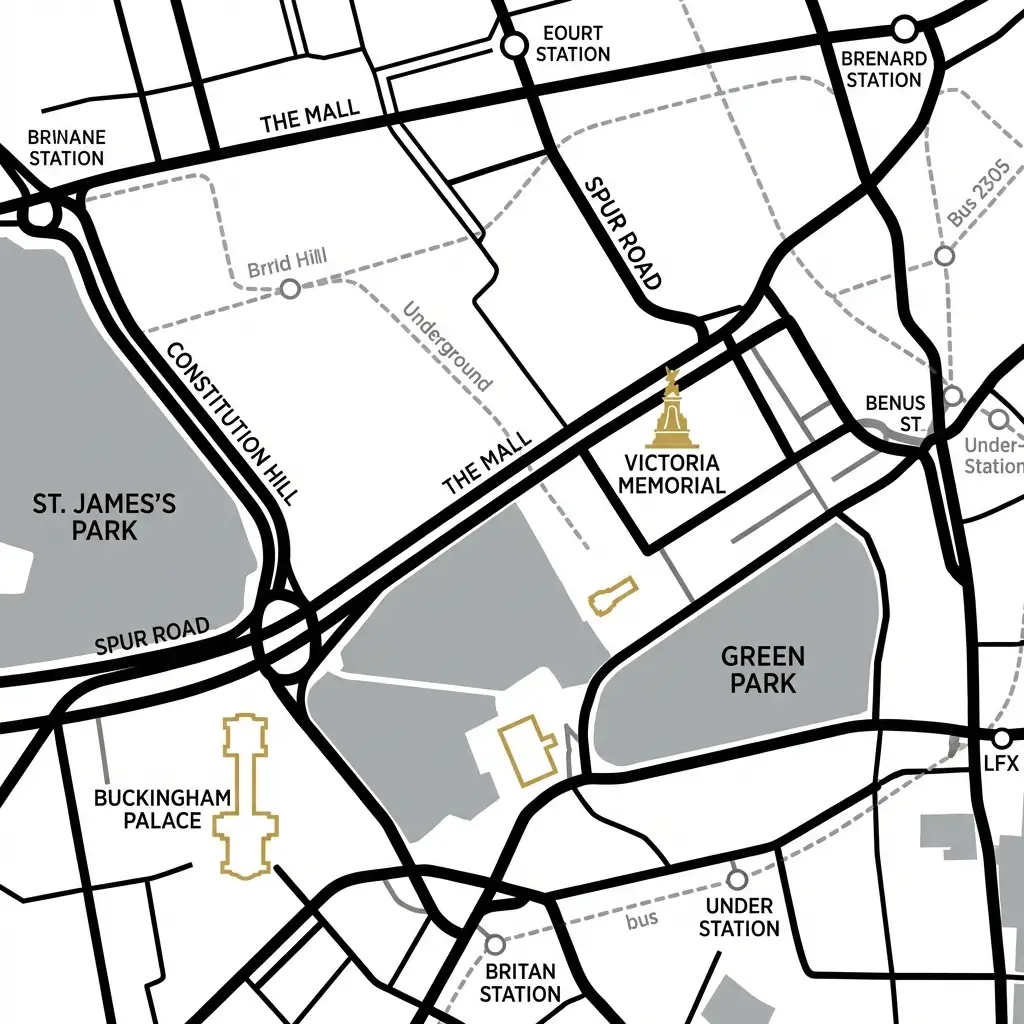
Modern City Map is a clean, contemporary cartographic style that strips away unnecessary detail to focus on essential urban navigation elements like major streets, landmarks, and transit networks. This aesthetic emerged from the design principles of famous transit maps like Harry Beck's 1931 London Underground diagram, which revolutionized cartography by prioritizing clarity and usability over geographic accuracy.
Today's minimalist city maps are particularly useful for travelers, urban planners, real estate professionals, and anyone creating wayfinding materials, infographics, or location-based marketing content. The style typically features simplified geometric shapes, limited color palettes with distinct hues for different transit lines, and careful hierarchy that makes important destinations immediately identifiable at a glance.
To achieve the best results with this prompt, specify the city name, desired color scheme, and which elements to emphasize such as subway lines, bike paths, or tourist attractions.
Including terms like "flat design," "clean lines," "sans-serif labels," or "geometric shapes" will help refine the minimalist aesthetic. Both Gemini Image Pro and OpenAI 4o handle this style exceptionally well, with Gemini often excelling at maintaining consistent geometric precision across the entire map, while OpenAI 4o tends to produce more vibrant color combinations and creative interpretations of landmark iconography. For optimal clarity, request specific viewing perspectives like "top-down view" or "isometric angle" and mention if you want the map to follow a particular orientation or focus on a specific neighborhood or district within the city.