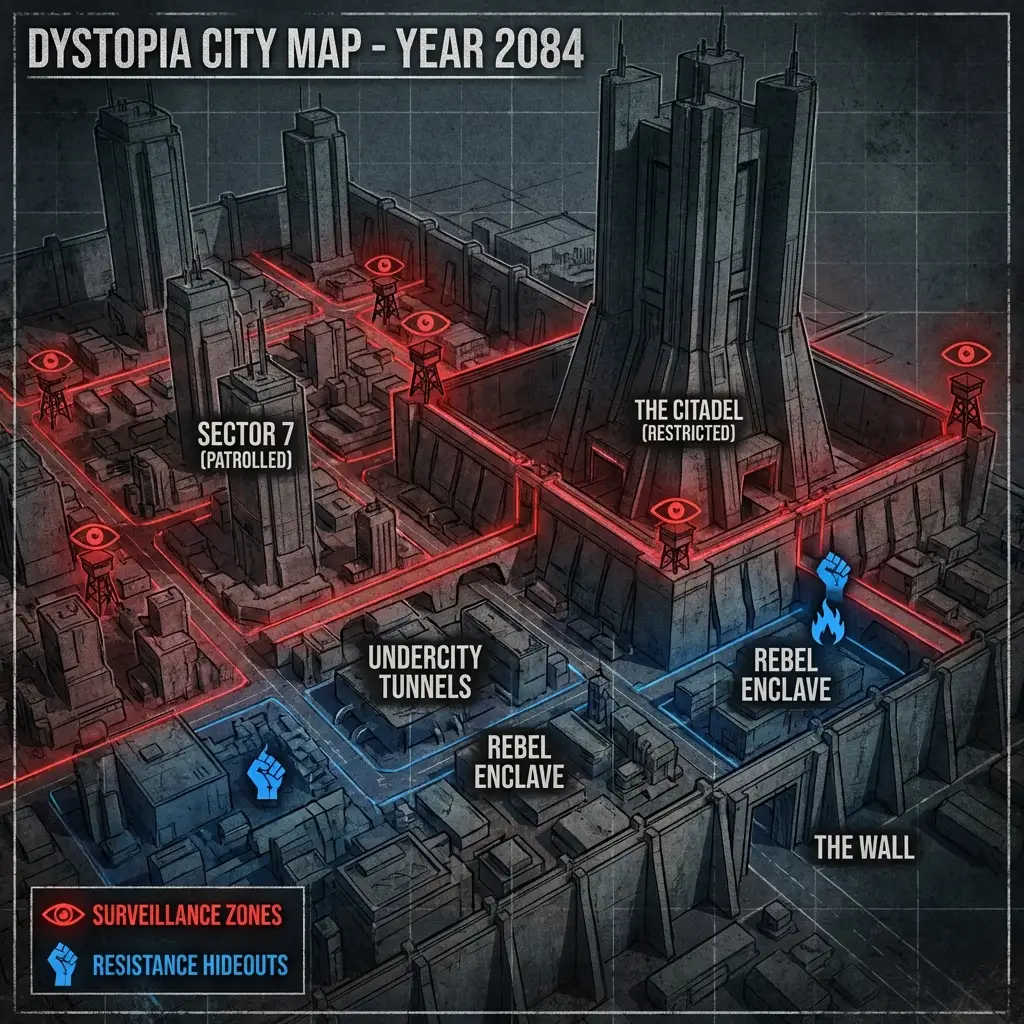
Dystopian city map in a dark style, with oppressive architecture, surveillance zones, and resistance hideouts.
About this style
Dystopian City Map is a cartographic aesthetic that visualizes authoritarian urban environments through the lens of speculative fiction, drawing inspiration from works like 1984, Blade Runner, and modern surveillance state narratives. This style typically features brutalist or neo-fascist architecture rendered in oppressive grays and blacks, with clearly demarcated zones of control such as checkpoints, camera networks, restricted sectors, and hidden pockets of resistance activity.
The maps often incorporate visual elements like propaganda symbols, patrol routes, no-go zones, and underground networks that tell a story of power and rebellion through spatial design alone.
This aesthetic works exceptionally well for worldbuilding in dystopian fiction, tabletop RPG campaigns set in cyberpunk or totalitarian settings, concept art for video games, or educational visualizations about surveillance and urban control. The dark color palette and ominous architectural elements create an immediate sense of oppression and danger while maintaining the functional clarity needed for an actual map.
For best results, specify the level of detail you want in surveillance infrastructure, whether you prefer a top-down or isometric view, and include specific architectural styles like brutalism, industrial decay, or high-tech authoritarianism to guide the composition.
Both Gemini Image Pro and OpenAI 4o handle this prompt style effectively, with Gemini excelling at intricate geometric patterns and systematic layouts that convey bureaucratic control, while OpenAI 4o tends to produce more atmospheric interpretations with stronger narrative elements. Consider adding specific labels or legends in your prompt to enhance readability, and experiment with lighting effects like harsh spotlights or perpetual twilight to amplify the oppressive mood.